Oʻahu Rainy Season Guide: What Wet Weather Actually Means For Your Trip
Oʻahu's rainy season runs roughly November through March, but the island's rain is wildly uneven: the airport records about 16 inches a year while the Mānoa valley five miles away records over 150. Here is what that means for your plans.
Short answer
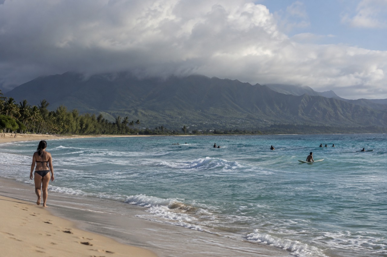
Oʻahu's rainy season is roughly November through March, when monthly rainfall at Honolulu airport roughly doubles. But rain here is localized and usually brief: a morning shower over the Koʻolau range can leave Waikīkī dry all day. The windward side and valley interiors are far wetter than the leeward coast, so a rainy forecast often just means driving to the other side of the island.
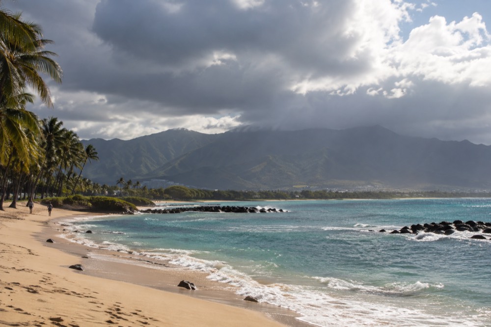
Oʻahu's rainy season is roughly November through March, when monthly rainfall at Honolulu airport roughly doubles. But rain on this island is localized and usually brief: a morning shower over the Koʻolau range can leave Waikīkī dry all day. The windward side and the valley interiors are far wetter than the leeward coast, so a rainy forecast often just means driving to the other side of the island.
That is the short version. The long version is more interesting, because Oʻahu has one of the steepest rainfall gradients of any tourist island on earth, and almost no guide content grounds it in actual station data. This one does. Everything below comes from NOAA's 1991 to 2020 climate normals, live National Weather Service surf forecasts, and the state's own visitor statistics.
When Is The Rainy Season On Oʻahu?
Oʻahu's rainy season runs roughly November through March. At Honolulu airport the wettest month is March at 2.36 inches, while June averages just 0.50 inches. The island never has a monsoon season: even the wettest month at the driest station is 2.36 inches, and showers typically pass in bursts rather than settling in for days. Winter is also when the trade winds occasionally break down, which is when rain gets serious.
The numbers behind that come from NOAA's National Centers for Environmental Information, which publishes 30-year climate normals for every official weather station. Honolulu International Airport, sitting on the dry leeward coastal plain, averages 16.41 inches of rain across a whole year. Its wettest month, March, averages 2.36 inches. Its driest, June, averages 0.50 inches. That is a real rainy season, but a mild one by the standards of anywhere in the tropics with actual mountains.
Two things make Oʻahu different from the generic "Hawaii rainy season" answer you will find elsewhere.
The first is that the island's rain does not fall evenly, it falls on a gradient so steep that two stations five miles apart differ by a factor of nine. We cover that in full below, because it is the single most useful thing a visitor can know about weather here.
The second is that winter rain on Oʻahu usually arrives in a specific pattern: trade winds push moisture up the windward slopes, clouds pile against the Koʻolau range, and the valleys and windward coast get repeated showers while the leeward side, where Waikīkī, downtown and most hotels sit, stays dry or gets a fraction of it. When the trade winds are blowing, this pattern repeats daily and the forecast is boring in a good way. When they break down, usually in winter, a front or a kona storm can bring island-wide rain for a day or two, and that is when the island genuinely feels wet.
| Station (NOAA 1991-2020 normals) | Side of the island | Annual rainfall | Wettest month | Driest month |
|---|---|---|---|---|
| Honolulu International Airport | Leeward coastal plain | 16.41 in | March, 2.36 in | June, 0.50 in |
| Kāneʻohe Bay MCAS | Windward coast | 27.82 in | November, 3.68 in | (driest month under 1.5 in) |
| Mānoa, Lyon Arboretum | Windward valley, ~5 miles from Waikīkī | 150.96 in | July, 15.35 in | (no month under 8 in) |
Read that last row again. The Lyon Arboretum station in Mānoa averages 150.96 inches of rain a year. Every single month there is wetter than Honolulu airport's wettest month. July, the middle of "summer", averages 15.35 inches in that valley. If your hotel is in Waikīkī and your hike is in Mānoa, you can drive five miles and quadruple the rain you are standing in.
Does It Rain All Day On Oʻahu During The Wet Season?
Usually not. Trade-wind showers on Oʻahu tend to be short, localized and most frequent overnight or in the morning, with afternoons often clearing on the leeward side. The exceptions are the days when the trade winds collapse, typically between November and March, when a front or kona storm can deliver steady island-wide rain for one to three days. Those events are the minority, and long-range forecasts usually flag them several days out.
The practical rhythm most visitors experience in the wet season looks like this: you wake up to grey clouds, the shower passes by mid-morning, and by early afternoon the leeward coast is in sunshine again while the mountains behind it stay capped in cloud. Locals plan around this without thinking. Beaches in the morning, errands and indoor stops in the afternoon when the clouds build, and the evening is often clear again.
The genuinely wet days are the ones worth planning for, and they have a signature. When the trade winds die, winds turn southerly, and humidity climbs, that is a kona pattern, and it can rain on the normally dry leeward side for hours. These events produce most of the island's flood warnings, and the state's flash-flood safety guidance matters most during them. If your trip overlaps one, the honest advice is to write off the beach day, not to fight it.
One more thing the numbers settle: rain here is not cold. Honolulu Harbor's water temperature, from NOAA hourly readings across 2025, averages 78.2°F in January and never drops below an annual low of 75.7°F. Air temperatures in the rainy season stay warm too. Getting wet on Oʻahu is an inconvenience, not a misery, which is why the local response to rain is often to keep doing whatever you were doing.
If the forecast looks grey for your whole window, a full-day guided loop is the most weather-resilient plan there is: the driver watches the radar, the vehicle is covered, and the island's scenery, cloud-capped ridges and all, does not stop being scenic.
Which Side Of Oʻahu Gets The Most Rain?
The windward, east-facing side gets far more rain than the leeward, southwest-facing side. Kāneʻohe Bay on the windward coast averages 27.82 inches a year against the airport's 16.41, and the windward valleys are wetter still, with Mānoa's Lyon Arboretum at 150.96 inches. The Koʻolau mountains force moist trade-wind air upward, it rains out on the windward slopes, and the leeward side sits in their rain shadow.
This is basic geography with big consequences for your itinerary. The trade winds, which blow from the northeast for most of the year, hit the Koʻolau range first. The air rises, cools, drops its moisture on the windward slopes and valleys, and descends dry on the Waikīkī and ʻEwa side. The result is that Kailua, Kāneʻohe, Waimānalo and the valleys behind them are green and lush, while the leeward coast from downtown to Ko Olina is noticeably drier and browner.
For a visitor this is an operational fact, not trivia. A "40% chance of rain" forecast for Honolulu can mean a soggy morning in Kailua and a bone-dry one in Waikīkī on the same day. If it is pouring where you are, the fastest fix is often to check the other coast. The north shore and windward coast guide covers what is on the wet side; the leeward side holds Waikīkī, Ko Olina, ʻEwa Beach and most of the resort stock.
There is a second axis most visitors miss: elevation. Rain increases sharply as you climb into the valleys. That is why Mānoa, a residential valley a short drive from Waikīkī, records nine times the airport's rainfall. The Mānoa Falls trail, one of the island's most popular hikes, runs through that rain forest, and the waterfall at its end exists because of it. The trade-off is direct: the lush scenery people fly here to see is made of rain, and the same showers that dampen your beach towel are what keep those valleys green.
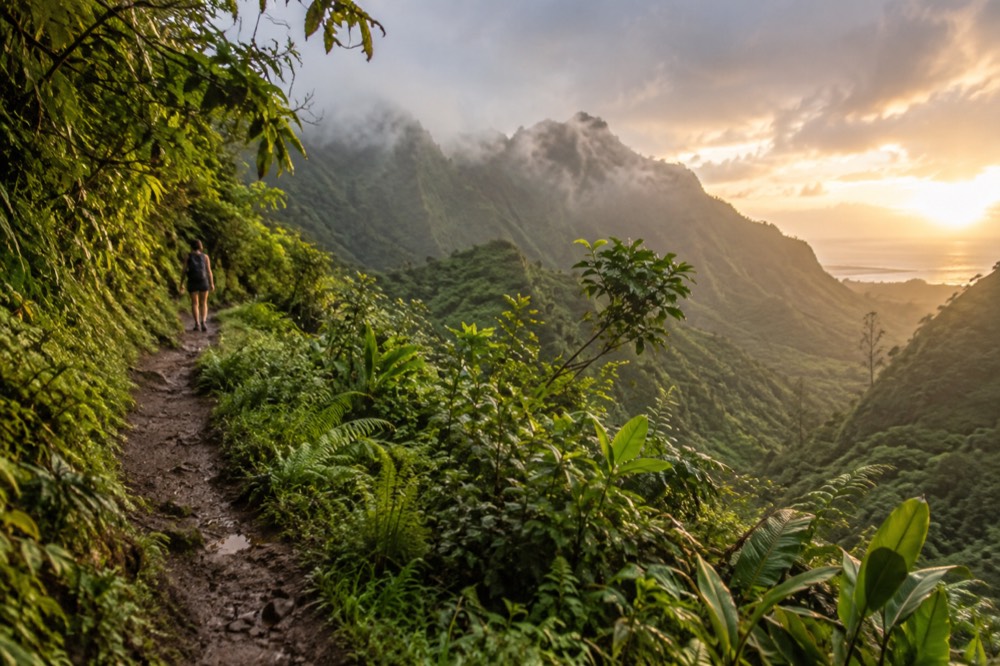
That green backdrop is the upside of the wet months, and it is worth saying plainly: the rainy season is when Oʻahu looks its most vivid, and the clouds that build against the ridges are part of the show rather than a spoiler of it.
What Should You Do On A Rainy Day On Oʻahu?
The best rainy-day plan on Oʻahu is usually to move to the dry side of the island, and if that fails, to go indoors: Bishop Museum, ʻIolani Palace, the USS Missouri and the Pearl Harbor visitor centre. A wet day is a poor day for beaches and ridge hikes but a fine day for history, museums and food, and Oʻahu has more of all three than most tropical islands.
Start by checking which side the rain is actually on. In trade-wind weather the leeward coast will often be clear while the windward side soaks, so a "rainy day" in Kailua can be a beach day in Ko Olina. Drive across and check.
If the whole island is genuinely wet, which happens during kona events, the island's covered options are strong. The Pearl Harbor historic sites, including the USS Arizona Memorial program and the battleship Missouri, are mostly experienced through indoor museums, a shuttle boat and covered decks, and the memorial itself is a place of reflection whatever the sky is doing. Bishop Museum's Hawaiian Hall is one of the finest collections of Native Hawaiian cultural material anywhere. ʻIolani Palace, the only royal palace on United States soil, is an interior experience by design.
Prefer a covered adventure on a wet afternoon? Book a submarine adventure here.
Our full rainy day activities on Oʻahu page carries the long list. The short version by category:
| Conditions | What works | What to skip |
|---|---|---|
| Windward showers, leeward dry | Leeward beaches, Ko Olina lagoons, ʻEwa-side attractions | Windward hikes, Kailua kayak trips |
| Island-wide grey, light rain | Circle-island driving tour, museums, food tours, distillery and farm stops | Ridge trails with views (no view anyway) |
| Kona storm, steady rain | Pearl Harbor museums, Bishop Museum, palace tours, indoor shows | All hikes, all beaches, valley roads in flood watch |
| Flash flood warning active | Nothing in valleys or streams, full stop | Mānoa Falls, waterfall trails, stream crossings |
That last row is not a style point. Hawaii's flash floods are the island's deadliest recurring weather hazard, and a stream that is shin-deep at the trailhead can become impassable within minutes when rain falls higher up the valley. The state's guidance is to stay out of streams and flooded low crossings during any flood watch, and to never drive through standing water of unknown depth.
A covered, narrated day also solves the rain problem for people who would rather not drive in it. The two strongest options in that lane are the most-booked circle-island loop, which keeps you moving through whatever the sky does, and the Byodo-In route, which adds a temple stop that is arguably at its best under low cloud.
Does Rain Change The Surf And The Ocean?
Rain does not make Oʻahu's surf bigger, but it changes where the surf is and what is in the water. The island's four shores run out of phase: north-facing shores peak in winter, south-facing shores in summer, and a September 2026 forecast showed the south shore at 4 to 6 feet while the north shore sat at 1 to 3. After heavy rain, avoid stream mouths and murky nearshore water.
The surf point deserves a sentence of explanation, because it is one of the island's genuinely non-obvious patterns. The National Weather Service's Honolulu surf zone forecast publishes Oʻahu's expected surf by shore aspect, north, west, south and east, and the four numbers rarely move together. Winter storms in the North Pacific send swell at the north-facing shores, while summer swells generated south of the equator arrive on the south-facing shores, the ones fronting Waikīkī. So the "rainy season" of November to March is also the season when the north shore carries the island's largest surf, and swimming on that coast becomes a spectator activity rather than a swimming one.
The rain-specific ocean risks are different from the surf ones. Heavy runoff turns nearshore water brown at stream mouths, and the Hawaii Department of Health's beach monitoring program posts advisories when bacteria exceed standards, most often after significant rainfall. The standard local practice is to stay out of the ocean near any flowing stream outlet for a couple of days after a big storm, and to check the department's current advisories before swimming. Our ocean safety guide covers the full picture, including the box jellyfish calendar, which is a separate cycle from rain.
For snorkelers the practical rule is simple: rain does not stop you, murk does. Hanauma Bay on a grey morning is often fine, and the preserve closes Mondays and Tuesdays regardless of weather, with reservations opening two days ahead at 7 a.m. HST. What ends a snorkel plan is a storm that has clouded the water, and that you can usually see from the sand before you get in.
How Should You Pack For The Rainy Season?
Pack for brief warm showers rather than cold weather: a compact umbrella or light rain shell, quick-dry clothes, reef-safe sunscreen for the sunny gaps, and shoes that can handle a wet trail. You will not need a heavy raincoat or cold-weather layers, because even in the wettest months air and ocean temperatures stay warm, and the rain is the warm kind. Water shoes or trail runners beat sandals if you plan to hike in the valleys.
The single most common packing mistake for the rainy season is over-preparing for rain and under-preparing for sun. The same November day can hand you a soaked morning hike and a burning midday beach session, and the locals' uniform, quick-dry shorts, a light shirt, and something with a hood in the bag, handles both. An umbrella is genuinely useful in the wet season, especially for walking around downtown and Waikīkī between showers.
The second mistake is ignoring the valleys. If Mānoa Falls or any windward trail is on your list, expect mud and slippery boardwalk even in a dry week, because those valleys are wet year-round regardless of season. That is what 150 inches a year means in practice. Trail runners with grip will do more for your day than any jacket.
A month-by-month sketch for planning, using the airport station's normals as the "dry-side baseline" and the wettest station as the ceiling:
| Month | Honolulu airport rainfall | What it means for plans |
|---|---|---|
| November | Rising into the wet season; Kāneʻohe's wettest month at 3.68 in | Windward side turning properly wet; north shore surf season beginning |
| December | Wet season established | Fronts possible; pack the umbrella for real |
| January | 1.84 in | Peak rainy season, but still mostly trade-wind bursts |
| February | Wet, similar to January | Good museum-weather backup days |
| March | 2.36 in, the airport's wettest | Mix of showers and clear days |
| April to October | Drying steadily; June driest at 0.50 in | Rain becomes a valley-and-windward phenomenon only |
Note what is not in that table: a month you should not visit. The rainy season on Oʻahu is a reason to plan differently, not a reason to stay home, and the island's visitor numbers reflect that. Oʻahu recorded 5,679,047 visitors by air in calendar 2025, preliminary state figures show, only about 2% below 2024, and January 2026 was the strongest month of that year so far at 527,241 arrivals. Winter, the rainy season, is one of the island's busiest periods, because the rain is not the kind that ruins trips.
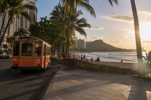
For getting around on wet days without a rental car, the hop-on trolley network keeps you under cover between stops, and TheBus and Skyline share a fare system with a $7.50 daily cap on a HOLO card.
Are Any Oʻahu Attractions Closed By Wet Weather?
Rain itself closes almost nothing on Oʻahu, but three specific sites are currently closed for storm-damage repairs following Hurricane Lowell, per a state parks notice dated 9 September 2026: Nuʻuanu Pali State Wayside, Kaʻena Point State Park's Mokuleʻia and Keawaʻula sections, and Wahiawā Freshwater State Recreation Area, all until further notice. Separately, some trails and valley areas close temporarily during flash-flood conditions, and those closures are announced day to day.
The Pali Lookout closure matters most for visitors, because the lookout above Nuʻuanu is a standard circle-island stop and much of the island's tour content still describes it as open. It is not, as of the notice above, and any itinerary or tour booking that includes it should be checked against the current DLNR State Parks notices before you go. The same notice affects Kaʻena Point, which is both a sacred site and a protected seabird area at the island's western tip, and Wahiawā Freshwater on the central plain.
Beyond those storm closures, wet-weather disruption on Oʻahu is mostly short-lived and day-specific. Waterfall trails, stream crossings and some valley roads become hazardous during flood watches, and the state closes individual trails when conditions demand it, but these are rolling decisions rather than a rainy-season shutdown. Hanauma Bay's Monday and Tuesday closure is fixed and has nothing to do with weather.
The pattern to internalize is that Oʻahu's closures are event-driven, not season-driven. A hurricane season that ends without a storm leaves the island fully open through its rainy season, and a single storm, as 2026 has shown, can close a major lookout for months of repairs. Check the state parks notices and the National Park Service pages for your specific stops in the week before you travel, which is also when our own pages get re-checked.
Because closures and rain both shift day to day, a guided loop with a local operator is the most resilient way to cover the island's lookouts: operators reroute around closed stops and weather without you having to track either one.
If you would rather compare the full spread of covered, driver-handled days before committing, these are the three options that hold up best in wet weather.
Whichever way you go, the underlying advice holds: on Oʻahu, a grey forecast is a routing problem, not a cancellation, and the island rewards travelers who treat it that way.
Common Questions About The Oʻahu Rainy Season
Most questions about Oʻahu's rainy season come down to three things: the season runs November to March but stays warm, rain is concentrated on the windward side and in the valleys rather than spread evenly, and genuinely washed-out days are rare enough that a flexible plan beats a cancelled one. Visitors who understand the island's rain shadow, and who keep one indoor day in reserve, rarely lose a day of trip to weather.
What is the rainy season on Oʻahu?
Roughly November through March. At Honolulu airport, the wettest month is March, averaging 2.36 inches, while June averages just 0.50 inches. The windward side of the island is wetter than those figures year-round, and the valleys are wetter still.
Does it rain every day in the rainy season?
No. Trade-wind showers are typically brief and localized, and the leeward coast around Waikīkī often stays dry while the windward side gets repeated bursts. Multi-day island-wide rain happens when the trade winds break down, usually a few times per winter, not continuously.
Which side of Oʻahu is the driest?
The leeward, southwest-facing coast, where Waikīkī, downtown Honolulu and Ko Olina sit. The airport station there averages 16.41 inches a year, against 27.82 inches on the windward coast at Kāneʻohe Bay and 150.96 inches in the Mānoa valley.
Is the rainy season a bad time to visit Oʻahu?
No, and the visitor numbers back that up: January 2026 was one of the island's strongest months for arrivals. Rain is warm, showers pass, and the wet-season landscape is at its greenest. It is also when the north shore surf is at its most powerful, which is worth knowing for swimmers.
Should I still hike in the rainy season?
Usually yes, with grip and judgement. Valley trails like Mānoa Falls are muddy year-round and fine for most walkers. Skip any trail during an active flash-flood watch, stay out of streams, and turn around if a crossing is rising. Ridge trails with big views are better saved for a clear day.
What should I do when it actually rains all day?
Go to the museums and historic sites: Bishop Museum, ʻIolani Palace, the Pearl Harbor museums, or a food tour under cover. Or take a guided circle-island tour and let a local driver handle the weather. Our rainy-day activities page has the full list.
A final framing worth keeping: the rain is why Oʻahu looks the way it does. Every postcard ridge line, every waterfall, every green valley wall exists because of the island's extraordinary rainfall gradient, and the months when that machinery runs hardest are the months when the island is at its most vivid. Plan around the showers, respect the flood warnings, keep a museum in your back pocket, and the rainy season becomes an advantage rather than a risk, and that is the whole point of this Oahu Travel Guide doing the homework before you fly.