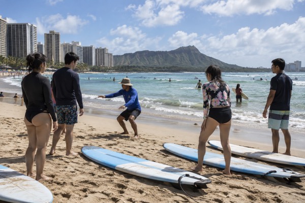
Oahu Ocean Safety: What Every Visitor Should Know Before Getting In
Oahu's ocean is warm, inviting and genuinely dangerous in the wrong place at the wrong time. Here is what the official forecasts, laws and guidelines actually say.
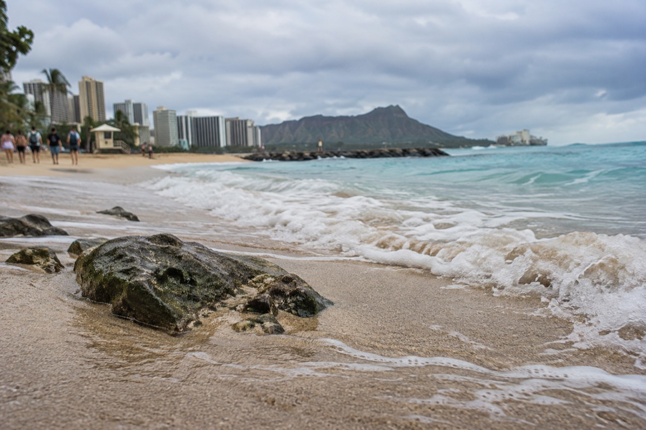
Short answer
Swim at lifeguarded beaches, check the National Weather Service surf forecast for your shore before you go, stay 100 yards from humpback whales and 50 yards from spinner dolphins by law, keep 10 feet from turtles and 50 feet from monk seals as recommended distances, and never turn your back on the ocean on high-surf days.
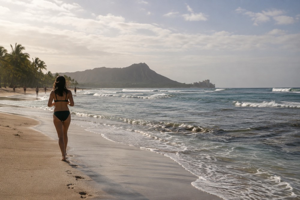
Oahu recorded 5,679,047 visitors by air in 2025, and nearly every one of them ends up in the ocean at some point. Most of those swims are uneventful. The ones that go wrong usually go wrong in ways that were visible in advance: a surf forecast nobody checked, a beach with no lifeguard, a channel current nobody mentioned, a jellyfish day on the calendar nobody knew existed. Ocean safety on Oahu is not a matter of luck. It is a matter of reading a handful of official sources, and this guide walks through each of them.
One structural fact shapes everything else on this island, and it is the single most useful thing a visitor can learn. Oahu's four coasts, north, west, south and east, receive surf out of phase with each other. The National Weather Service publishes a surf forecast broken out by shore aspect for exactly this reason. On 10 September 2026, for instance, the NWS Honolulu Surf Zone Forecast showed the south shore running 4 to 6 feet while the north shore sat at 1 to 3 feet, a complete inversion of the winter pattern. A beach that is calm in July can be closed in January, and the beach an hour away can be doing the opposite on the same day.
This guide is written from official sources: the NWS surf forecasts, NOAA sanctuary and marine wildlife rules, city ocean safety guidance and the state parks pages. Where something is a law, it says so. Where it is a recommended guideline rather than a statute, it says that too, because the difference matters and much of the competing content online flattens it.
Why Does Ocean Safety On Oahu Change Shore By Shore?
Oahu faces four different directions of open ocean, and each shore receives swells from different sources on different seasons. North-facing shores peak in winter, south-facing shores peak in summer, and the National Weather Service forecast lists all four aspects separately every day. A dangerous beach and a calm beach can be a 30-minute drive apart on the same afternoon, so the shore you choose matters as much as the day you choose.
The winter pattern is the famous one. North and west shores take the large winter swells generated by storms far to the northwest, which is why the North Shore becomes the professional surfing capital of the world between roughly November and March. In those same months the south shore, including most of Waikīkī, is often at its calmest. Come summer the roles reverse: southern hemisphere storms send long-period swells north, and south-facing beaches pick up the size while the North Shore goes quiet and flat.
The east shore is its own case. It takes trade-wind chop almost daily and, as the NWS discussion noted on 10 September 2026, can also pick up surf from "east and northeast swells generated by former tropical cyclones." East-facing beaches like Sandy Beach and Waimānalo can carry a shorebreak that is far more powerful than the wave height suggests, and shorebreak is where many of the island's serious injuries happen, not in the big-wave spots where experts surf.
The practical takeaway is simple. Before you choose a beach, look up which way it faces, then read the NWS Honolulu surf forecast for that aspect. The forecast is free, published daily, and it is the same document the lifeguards are working from.
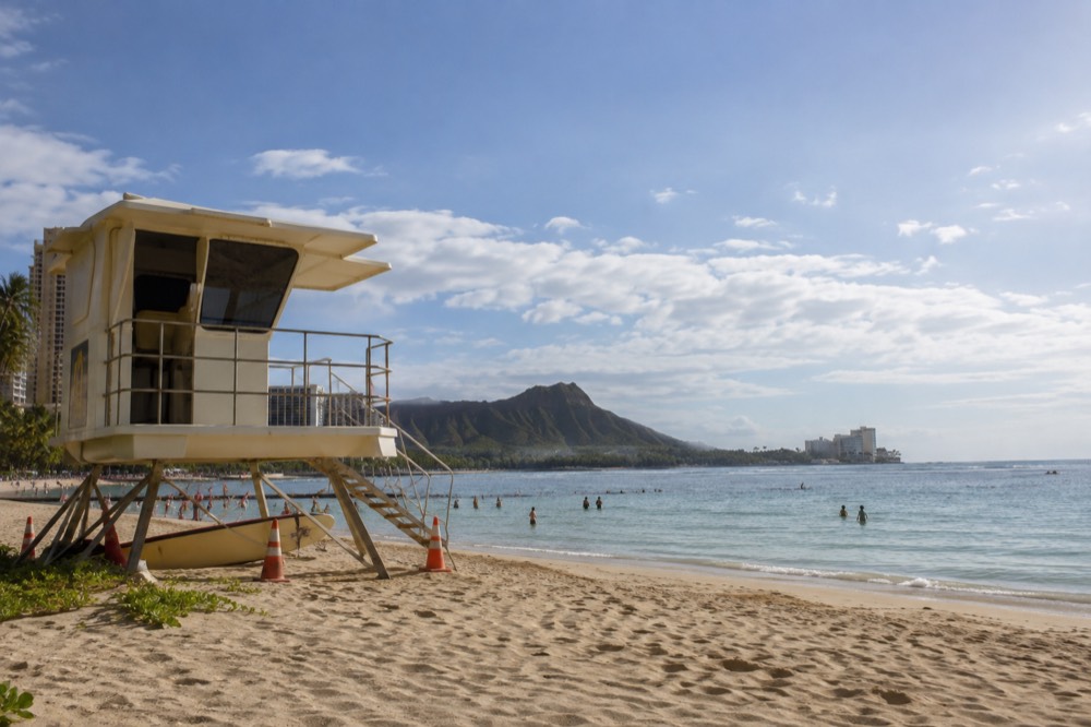
Which Oahu Beaches Are Safest For Swimming?
The safest swimming on Oahu is at lifeguarded beaches with gradual sand entries and a protection from the day's dominant swell, which in practice means Waikīkī and the leeward lagoons in summer and sheltered bays like Hanauma Bay year-round. Swim inside the flagged areas, ask the lifeguard on duty about currents before entering, and never swim alone at an unguarded beach. The flag system and the tower are your two best safety tools.
Waikīkī earns its reputation as a beginner beach honestly. It faces south, it sits behind a protective reef, and in winter, when other south shores are calm anyway, it is about as forgiving as Hawaiian ocean gets. The leeward coast, around Ko Olina's lagoons, offers rock-protected swimming with very little wave energy, which is why families gravitate there. Neither is risk-free, and both still deserve the basic respect you would give any ocean.
Hanauma Bay deserves special mention both for its safety profile and its access rules. The bay is a flooded volcanic crater with a reef that blocks nearly all wave action, making it the island's signature snorkeling site. It is also a nature preserve with a reservation system: entry slots open two days ahead at 7:00 a.m. HST, the bay is closed Mondays and Tuesdays, non-resident entry is $25 plus a 2.35% online service fee, and Hawaii residents enter free with ID. Our Hanauma Bay guide covers the full process.
What you should avoid, or at least treat with real caution, depends on the day and your ability. Sandy Beach on the east shore has a powerful shorebreak that has injured experienced bodysurfers, and it belongs on the list of places where standing in the impact zone is a bad idea. Any north-shore beach during a winter swell is a spectator destination, not a swimming one. If a beach has a posted warning sign or a closed sign, the sign is the whole conversation.
If you would rather have someone else handle the driving and the timing while you focus on the water, these are the island tours that pair well with a beach day:
How Do You Read The Surf Forecast Before You Swim?
The National Weather Service Honolulu office publishes a daily Surf Zone Forecast that lists Oahu's four shore aspects separately, with morning and afternoon heights plus a hazard discussion. Check it every morning of your trip, because the numbers can double overnight when a new swell arrives. Heights are given in feet of face height, and anything the forecast calls "advisory level" means unguarded swimming is a genuinely bad idea.
Here is what that forecast looked like on a real day, 10 September 2026, which is a useful example precisely because it was a summer day that broke the winter intuition:
| Shore aspect | Morning heights (ft) | Afternoon heights (ft) |
|---|---|---|
| North facing | 1 to 3 | 0 to 2 |
| West facing | 3 to 5 | 3 to 5 |
| South facing | 4 to 6 | 4 to 6 |
| East facing | 3 to 5 | 3 to 5 |
Read down that column and the story is clear: on this day the south shore, not the north shore, was carrying the island's largest surf. The NWS discussion attributed it to a mid-period south swell, with the east shore surf coming from swells "generated by former tropical cyclones." A visitor who assumed "September means the North Shore is flat, so everywhere is flat" would have been half right and entirely wrong about the beach they actually chose.
The forecast also carries hazard language, and the words matter. "High surf advisory" means waves are large enough to break dangerously on beaches facing the swell, with strong currents even where the water looks calm. "High surf warning" is the next tier up. When either is in effect for your shore, the ocean safety move is to relocate to the opposite side of the island, which on Oahu is always a short drive away, or to stay on the sand.
One more habit worth forming: check the forecast again in the afternoon, not just at breakfast. Swells arrive on their own schedule, and the morning and afternoon numbers in the table above are published separately because they genuinely differ.
How Close Can You Get To Turtles, Seals, Whales And Dolphins?
By law you must stay 100 yards from humpback whales and 50 yards from Hawaiian spinner dolphins, and swimming with or approaching spinner dolphins is prohibited. For monk seals and green sea turtles the distances, 50 feet and 10 feet, are federal guidelines rather than statutes, but harassment itself is illegal under the Marine Mammal Protection Act and Hawaii law. The distinction between law and guideline is real, and both distances protect the animal and you.
The full picture in one table:
| Animal | Distance | Law or guideline |
|---|---|---|
| Humpback whale | 100 yards | Law, enforced under federal regulation |
| Hawaiian spinner dolphin | 50 yards; approach and swim-with prohibited | Law, under the 2021 federal rule |
| Hawaiian monk seal | 50 feet; 150 feet for a mother with pup | Recommended guideline; harassment is separately illegal |
| Green sea turtle (honu) | 10 feet | Recommended guideline; take is separately illegal |
Humpback season runs November through April, per the Hawaiian Islands Humpback Whale National Marine Sanctuary, and in those months whales can sometimes be seen from shore, which is the cheapest and often the best way to watch them. Boat tours must obey the same 100-yard rule you do. The spinner dolphin rule is newer and stricter: the federal final rule published in September 2021, effective 28 October 2021, prohibits swimming with, approaching or remaining within 50 yards of spinner dolphins. Any tour marketing a "swim with wild dolphins" experience in Hawaii is either operating outside the law or describing something that is no longer that.
Turtles are the animal visitors meet most often, at Laniakea on the North Shore and in snorkeling spots all around the island. The 10-foot guideline is easy to violate by accident, because honu are curious and will sometimes approach a stationary swimmer. The right response is to hold your position or move away, never to close the distance yourself. Our Laniakea Beach guide covers the parking situation there, which is its own safety issue on a two-lane highway.
Monk seals haul out on Oahu beaches to rest, and a resting seal that feels crowded will abandon the spot, which costs it real recovery time. Fifty feet, and 150 if there is a pup, costs you nothing but a slightly worse photo. If a volunteer has taped off a zone around a seal, respect the tape.
What About Box Jellyfish, Coral Cuts And Reef Hazards?
Oahu's box jellyfish arrive on a predictable calendar, typically washing up on south-facing beaches around 8 to 10 days after each full moon, and the influx usually lasts a day or two. Check the jellyfish calendar for your dates before swimming the south shore, wear reef-safe sun protection and a rash guard in the water, and never stand on coral, both because it cuts and because it is a living animal that your foot kills.
The box jellyfish pattern is one of the most useful pieces of safety information on the island precisely because it is scheduled. The influx follows the lunar cycle, hits the south shore hardest, and the city posts signage and sometimes closes affected beaches while it lasts. Our box jellyfish calendar for Oahu tracks the pattern in detail. If you are swimming Waikīkī, Ala Moana or anywhere south-facing, a ten-second check against the full moon is worth more than any piece of swim gear.
Coral is the other constant hazard, and it is underrated. A coral cut is a deep, slow-healing wound that frequently becomes infected, and the best treatment is not getting one: float rather than stand, and if you must put a foot down, find sand. That rule is also the reef-safety rule. Coral is alive, and standing on it kills the polyps you are standing on. The same reef that protects Waikīkī from the swell is the reason Waikīkī is worth protecting.
Reef-safe sunscreen is now the standard expectation in Hawaii, and it is also plain common sense for the places you are swimming. The final reef hazard is the tide and the clock: snorkel well before dusk, both because visibility drops and because you want the lifeguard towers staffed while you are in the water.
Do You Need To Watch The Weather, Not Just The Ocean?
Yes, and on Oahu the weather hazard that actually hurts people is water falling from the sky, not wind. Flash floods in the island's steep valleys can turn a shin-deep stream crossing into a wall of water within minutes, and the rainfall contrast is extreme: Honolulu airport averages 16.41 inches a year while Mānoa, five miles away, averages 150.96 inches. Never cross a flooded stream or enter a narrow valley when rain is falling anywhere upstream.
The rainfall numbers are worth seeing side by side, because they explain why "it's sunny in Waikīkī" tells you almost nothing about conditions in the Koʻolau valleys:
| Station | Location type | Annual normal rainfall |
|---|---|---|
| Honolulu International Airport | Leeward coastal plain | 16.41 in |
| Kāneʻohe Bay MCAS | Windward coastal plain | 27.82 in |
| Lyon Arboretum, Mānoa | Windward valley, 5 miles from Waikīkī | 150.96 in |
Every single month in Mānoa is wetter than the airport's wettest month. That is the National Weather Service 1991-2020 climate normals data, and it is the reason the Oahu flash flood safety guide exists as its own page. If you are hiking to a waterfall, check the forecast for the valley, not the beach, and if there is any chance of rain upstream, save the waterfall for another day. The trail will still be there tomorrow.
The same logic applies to stream mouths and beach parks near valley outflows after heavy rain. Brown, murky water after a storm is carrying everything the valley washed down, and it is not water you want to be swimming in.
Hurricane season is the other calendar item. The Atlantic gets the headlines, but the central Pacific has its own season, and 2026 provided a live example: Hurricane Lowell's aftermath closed Nuʻuanu Pali State Wayside, Kaʻena Point State Park's Mokuleʻia and Keawaʻula sections, and Wahiawā Freshwater State Recreation Area as of the DLNR notice dated 9 September 2026. If a storm has passed through during your trip week, check the state parks notices before you drive to any windward or north-shore destination.
When Is Ocean Water Warmest On Oahu?
Harbour readings from Honolulu show water temperature peaking in August at a mean of 82.7°F, with September and October close behind at 82.4 and 82.5°F. The coolest months are February at 78.0°F and January and March at 78.2°F.
Across 2025 the observed range ran from 75.7°F to 84.0°F, so Oahu's ocean never gets cold, though the data comes from Honolulu Harbor and runs warm against open water off Waikīkī.
The full monthly picture, computed from hourly NOAA readings at station 1612340 across calendar 2025:
| Month | Mean water temp (°F) | Month | Mean water temp (°F) |
|---|---|---|---|
| January | 78.2 | July | 81.3 |
| February | 78.0 | August | 82.7 |
| March | 78.2 | September | 82.4 |
| April | 79.3 | October | 82.5 |
| May | 79.7 | November | 81.2 |
| June | 80.6 | December | 80.4 |
Two honest caveats travel with that table. First, the sensor sits in Honolulu Harbor, not open ocean, so treat the numbers as slightly warm and round down mentally if you are deciding whether to pack a wetsuit top. Second, mean temperature is not what you feel: a cloudy, windy February morning can feel much colder than the monthly average suggests, and a fresh trade-wind chop can chill a long snorkel session even in August.
For most visitors the practical answer is that Oahu's water is warm enough for swimming every month of the year, and the decision that actually shapes your comfort is not the calendar but the swell: the same February day that gives you 78-degree water also gives the north shore its giant surf, which is why winter visitors swim south and east while watching the north.
What Should You Do If Something Goes Wrong?
Call the emergency number for any ocean emergency in Hawaii, and if you are at a lifeguarded beach, get the tower's attention first because the guards can be in the water faster than any ambulance can arrive. Know the universal distress signal, raise one arm and wave, and never swim out to rescue someone yourself unless you are trained, because untrained rescuers become the second victim with grim regularity. In doubt, don't go out.
The order of operations matters. A lifeguard on duty is the fastest response available anywhere on the island, and Oahu's ocean safety division staffs towers at the major beaches during daylight hours. If you are swimming at a guarded beach, the tower is your first call. If you are not, the emergency dispatcher is, and Hawaii's emergency services are well practiced at ocean rescues.
Rip currents deserve their own sentence, because they are the hazard most likely to catch a competent swimmer. The escape is counterintuitive but simple: swim parallel to the beach until you are out of the narrow channel of moving water, then angle back to shore. Do not swim against the current toward the beach. If you cannot make progress, float, raise one arm, and conserve energy while signaling.
Two habits close the safety loop. Swim near other people, and tell someone on land where you are going and when you expect to be back. Most of the island's serious incidents involve someone in the water alone, at an unguarded beach, at the wrong hour.
Should You See The Island By Tour Instead Of Driving It?
For many visitors, yes: a circle-island tour puts you at the island's best viewpoints and beaches without the fatigue of driving a two-lane highway you do not know, and it removes the temptation to stop in travel lanes or residents' driveways for a photo. The most-booked option runs about six and a half hours and covers the full loop, while a nine-hour hidden-gems version adds stops like the Byodo-In Temple.
Neither replaces a swim, but both replace a stressful day behind the wheel.
The North Shore is a working community on a two-lane road carrying enormous visitor pressure, and the ocean safety story there is partly a road safety story. Drivers watching for turtles at Laniakea instead of the road, cars parked on shoulders with doors opening into traffic, these are real, recurring problems, and a tour with a professional driver simply deletes them from your day. Our broader overview of the best beaches on Oahu helps you pick which stops you care about most.
The longer alternative swaps quantity of stops for depth, and suits travelers who would rather do fewer things more thoroughly:
And if your interest is mainly getting around Honolulu and Waikīkī between swims rather than circling the island, the hop-on hop-off trolley covers that job at the lowest cost of the three:
For a fuller comparison of the island's guided options, see the things to do in Oahu page, which is the site's master list. Whichever way you travel, the ocean rules in this guide travel with you: read the shore-aspect forecast, swim guarded, respect the wildlife distances, and let the calendar tell you when the jellyfish are due.
Common Questions About Oahu Ocean Safety
Most questions about Oahu ocean safety come down to four things: which shore you are on, what the day's surf forecast says, whether a lifeguard is on duty, and what the wildlife distance rules are. The north and south shores trade places seasonally, the NWS publishes the daily numbers, and whales and dolphins carry legal approach distances while seals and turtles carry recommended ones. Get those four right and you have handled most of the risk.
Is it safe to swim at Oahu beaches?
Yes, at lifeguarded beaches on a shore that is not under a high-surf advisory, which on any given day describes most of the island. Check the NWS Honolulu surf forecast for your shore's aspect, swim inside flagged areas, and ask the on-duty lifeguard about conditions before entering. Avoid swimming alone at unguarded beaches and never enter the water when a beach is posted closed.
Which side of Oahu has the calmest ocean?
It depends on the season. South-facing shores, including Waikīkī, are typically calmest in winter when the north and west shores take large swells. In summer the pattern reverses and the south shore picks up size while the north shore flattens out. The east shore takes trade-wind chop year-round. The NWS surf forecast lists all four aspects daily.
How close can you get to turtles on Oahu?
Ten feet is the recommended guideline distance for green sea turtles, and it is a guideline rather than a statute, but touching, chasing or harassing a turtle is illegal under state and federal law. If a turtle approaches you, hold still or move away rather than closing the distance.
When do box jellyfish come to Oahu beaches?
Box jellyfish typically wash up on south-facing beaches around 8 to 10 days after each full moon, with the influx usually lasting a day or two. Check the jellyfish calendar for your dates before swimming the south shore, and watch for posted warning signs at affected beaches.
Is Oahu ocean water warm enough to swim in winter?
Yes. Harbour readings at Honolulu averaged 78.0 to 78.2°F in the coolest months of 2025, and the annual observed range ran from 75.7°F to 84.0°F. Those readings come from Honolulu Harbor and run warm against open water, so round down mentally, but Oahu's ocean never gets genuinely cold.
What do I do if caught in a rip current on Oahu?
Stay calm, do not swim against the current toward the beach, and swim parallel to shore until you exit the narrow channel of moving water, then angle back in. If you cannot make progress, float on your back, raise one arm to signal for help, and conserve energy. At a guarded beach, the tower will see you.
For everything the ocean touches, from snorkeling spots to whale season, the Oahu Travel Guide homepage is the full index, and the safest trip is the one where you read the forecast before you read the beach.