Which Part Of Oahu Is Flooded?
A direct, sourced answer to which part of Oahu is flooded right now, which areas flood most often when it rains hard, and what Hurricane Lowell closed in September 2026.
No part of Oahu is flooded in the sense the question usually imagines, a city underwater or beaches washed away. What is true as of the second week of September 2026 is narrower and more specific: three state park sites on the island, Nuʻuanu Pali State Wayside, Kaʻena Point State Park's Mokulēʻia and Keawaʻula sections, and Wahiawā Freshwater State Recreation Area, are closed until further notice for repairs after Hurricane Lowell, per the DLNR State Parks notices banner. Everything else on Oahu has reopened. The flooding that does happen on this island is a rain event problem, concentrated in a handful of valleys and windward lowlands, and it passes in hours rather than days.
The question is worth answering carefully, because the search results for it are a mess of old storm footage and forum threads from other years. This page sticks to what the official sources say right now, and to the rainfall record that explains which parts of Oahu get wet, and how wet, when the weather turns.
Which Part Of Oahu Is Flooded?
As of 10 September 2026, no district of Oahu is flooded, but three state park sites remain closed for Hurricane Lowell storm repairs: the Nuʻuanu Pali State Wayside (the Pali Lookout), Kaʻena Point State Park's Mokulēʻia and Keawaʻula sections, and Wahiawā Freshwater State Recreation Area. DLNR lists all three as closed until further notice. Every other state park on Oahu has reopened, and there is no standing floodwater affecting roads, hotels or beaches island wide.
That is the snapshot. The reason the question exists at all is that Hurricane Lowell moved through the Hawaiian Islands in late August 2026 and damaged park infrastructure on several islands, and the DLNR notices banner is the single authoritative place to check what is open. On Hawaii Island, Hāpuna, Kīholo and Kekaha Kai remain closed for dangerous surf, and all Kauaʻi parks remain closed as of the same notice, so Oahu got off comparatively lightly. Storm related reservation refunds are being processed automatically, minus non refundable service charges, and DLNR says those take four to six weeks.
If you are reading this because a storm is in the forecast rather than behind you, the practical answer changes. Oahu's flooding is flash flooding: short, violent, local. It happens in the Koʻolau valleys and along windward streams, it follows cloudbursts rather than slow river rise, and the water is usually gone within hours of the rain stopping. The danger window is during and immediately after the rain, not for days afterward.
For planning a holiday around it, a flooded trail or lookout is a rerouting problem, not a cancellation problem. The island is small enough that if one side is soaked, the other side is often dry, and that is not a figure of speech, it is measurable in the rain gauge record.
Why Does One Side Of Oahu Flood And The Other Stay Dry?
Because the Koʻolau range wrings the clouds out on the windward side. Honolulu's airport, on the leeward plain, records 16.41 inches of rain a year, while the Lyon Arboretum station in Mānoa, five miles away in the valley behind Waikīkī, records 150.96 inches, more than nine times as much. Every single month in Mānoa is wetter than the airport's wettest month. That is where Oahu floods.
Those numbers come from the NOAA and NCEI 1991 to 2020 climate normals, and they are the single most useful thing to understand about rain on this island. The trade winds push moisture laden air up the windward slopes of the Koʻolau and Waiʻanae ranges, the air cools as it climbs, the water falls out as rain on the upper valleys, and the leeward side, where Waikīkī, Downtown Honolulu, Kapolei and the airport all sit, sits in the mountains' rain shadow.
The practical consequences for a visitor are concrete. A day can be grey and dripping in Mānoa, Kāneʻohe or Hauʻula while Waikīkī and Ko Olina stay dry enough for the beach, and both observations are true at the same time. When the forecast says rain for Honolulu, it is worth checking which side of the island the rain is actually falling on before writing off the day.
The windward coast's own numbers sit between the two extremes. The Kāneʻohe Bay station records 27.82 inches a year, wetter than the airport by a good margin but nowhere near the valleys behind it. So the flooding geography runs in bands: the leeward plain barely floods at all, the windward coastal plain floods occasionally when streams overtop, and the valleys flood often, because that is where a large share of the island's rain physically lands.
What Was Actually Closed After Hurricane Lowell?
Three Oahu sites: Nuʻuanu Pali State Wayside, Kaʻena Point State Park (Mokulēʻia and Keawaʻula sections), and Wahiawā Freshwater State Recreation Area, all closed until further notice as of the DLNR notice dated 9 September 2026. These are storm repair closures, not active flooding. Every other state park on Oahu had reopened by that date, and the Diamond Head page carried its own post storm update on 27 August confirming its status.
The Pali Lookout closure is the one most likely to touch a visitor's plans, because it is one of the island's most visited stops, perched on the cliff edge above Kāneʻohe with the windward coast spread out below. It is also a site that deserves restraint in how it is written about: the Nuʻuanu Pali is a place of deep historical weight, the site of the battle in which Kamehameha I's forces broke Oʻahu's defenders on this cliff, and it is not a viewpoint that needs hype. If it is closed when you visit, the honest advice is to skip it rather than hunt for an unofficial vantage point on the shoulder of the Pali Highway, which is both dangerous and disrespectful.
Kaʻena Point deserves the same care. It is a leina a ka ʻuhane, a place where souls depart the living world in Hawaiian tradition, and a protected seabird and monk seal area behind a predator proof fence. The closure is for repairs, and the point is not a place to work around a barrier. Our Nuʻuanu Pali Lookout guide and Kaʻena Point State Park guide both carry the current status, and both should be re checked against the DLNR banner the week you travel, because "until further notice" means exactly that.
| Site | Status as of 9 Sept 2026 | What it means for visitors |
|---|---|---|
| Nuʻuanu Pali State Wayside (Pali Lookout) | Closed until further notice, storm repairs | Do not plan a stop; no official reopening date |
| Kaʻena Point State Park, Mokulēʻia and Keawaʻula sections | Closed until further notice, storm repairs | Both trailhead approaches closed; do not enter past barriers |
| Wahiawā Freshwater State Recreation Area | Closed until further notice, storm repairs | A local freshwater recreation site, rarely on visitor itineraries |
| All other Oahu state parks | Reopened | Diamond Head, Hanauma Bay and the rest operating normally |
| Storm reservation refunds | Automatic, minus service charges | Allow four to six weeks per DLNR |
If your itinerary was built around the Pali Lookout, the reroute is straightforward. The windward coast it overlooks is still fully accessible from below, via Kāneʻohe and the coastal road, and a guided circle island day has the advantage of a driver who already knows which stops are closed this week.
Prefer to reroute at your own pace? Book a rental car here.
Which Areas Of Oahu Flood Most Often When It Rains?
The Koʻolau valley floors and their stream channels: Mānoa, Nuʻuanu, Kalihi, Kāneʻohe's lowlands and the windward coastal flats around Hauʻula and Kahana. These are the places where Oahu's rain physically concentrates, and where flash flood warnings are issued when it falls hard. The leeward plain from Downtown Honolulu to ʻEwa and Ko Olina floods rarely and drains fast, because it receives a fraction of the rain and sits on porous coastal lowland.
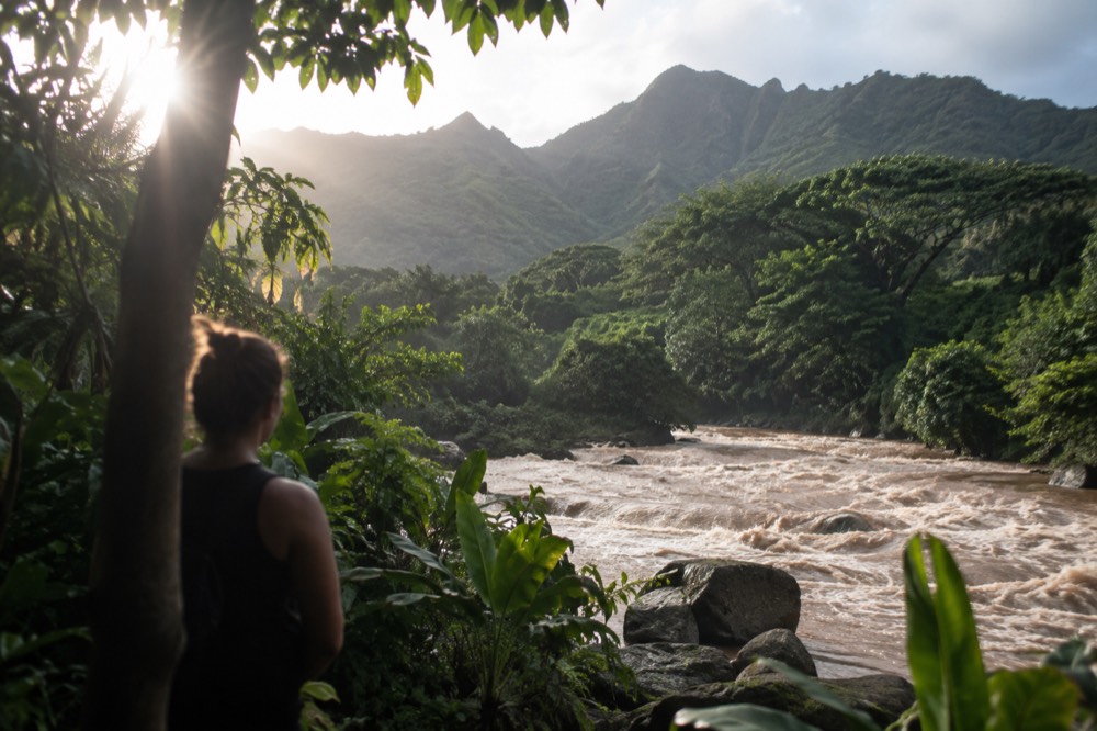
The mechanism is worth understanding rather than just memorising the list. Oahu's streams are short and steep. They rise in the upper valleys, where the rain gauge numbers are enormous, and drop to the sea in a handful of miles. When a cloudburst hits an upper valley, the stream downstream can rise within minutes, under blue sky the hiker at the bottom never saw coming. That is the specific hazard the NWS flood warnings for the island are about, and it is why trail closures during rain are not bureaucratic caution.
The Mānoa Falls trail is the classic case visitors meet. The valley above it is one of the wettest inhabited places in Hawaiʻi, the trail runs beside and across the stream, and the trail closes in heavy rain because the crossing becomes genuinely unsafe. The same logic applies to every valley trail on the windward side.
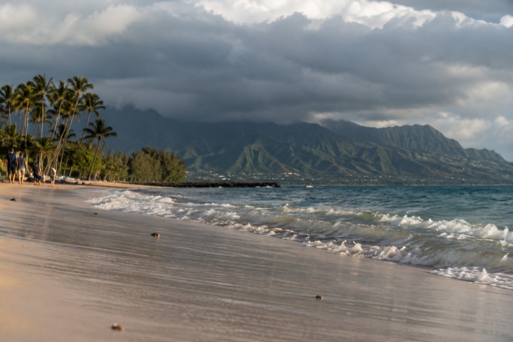
Coastal flooding is a separate, rarer animal, driven by high surf and king tides rather than rain. In winter, north facing shores take the big swells, and in summer the south shore does, which is the same out of phase pattern the surf forecast publishes every day. A "flooded beach" photo from Oahu is usually one of those events, and the water recedes with the tide.
| Area | Flood character | How often it affects visitors |
|---|---|---|
| Koʻolau valleys (Mānoa, Nuʻuanu, Kalihi) | Flash flooding in streams after cloudbursts | Trail closures during and after heavy rain |
| Windward coastal plain (Kāneʻohe, Hauʻula, Kahana) | Stream overtopping and ponding in sustained rain | Occasional road ponding, usually cleared within hours |
| Leeward plain (Waikīkī, Downtown, ʻEwa, Ko Olina) | Rare, fast draining | Seldom affects plans |
| North and west facing shores | High surf and king tide coastal runup, seasonal | Watch surf forecasts, respect closure signs |
Is It Safe To Visit Oahu During Heavy Rain?
Yes, with two specific cautions: never enter a flooded stream valley or a closed trail during or after heavy rain, because flash floods arrive faster than you can react, and never drive or wade through standing water of unknown depth. Everything else on the island during a rain event is an inconvenience, not a danger. Most rain on Oahu is brief, localised to one side of the island, and followed by sun the same afternoon.
The flash flood rule that matters most is the one the NWS repeats every time: it does not have to be raining where you are for the stream to rise. If a warning covers the valley upstream of your hike, the water coming down is not negotiable. Turn around at the first sign of a rising stream, brown water, debris, or a change in sound, and treat every posted closure as final. Our Oahu flash flood safety guide covers the full decision framework.
The second rule is about driving. Standing water on a coastal road is usually shallow, but you cannot tell the depth from the driver's seat, and Oahu's ponding spots, low sections of Kamehameha Highway on the windward side among them, can hide a washed out edge. Locals wait it out. The water almost always drops within hours.
Beyond those two cautions, rain on Oahu is mostly a wardrobe problem. The island's showers are famously short. The rainfall normals show even the airport's wettest month, March, averages 2.36 inches spread across the whole month, which means a lot of that month is still dry. Bring a light rain shell, keep phone battery for forecast checks, and let the rain pick the side of the island for you.
How Do You Plan Around Rain And Closures On Oahu?
Check two things each morning: the DLNR State Parks notices banner for closures, and the NWS Honolulu forecast, including the surf table by shore aspect. Then let the rain decide your side of the island, leeward on wet windward days, windward when the leeward plain is grey. Book refundable activities, keep one indoor alternative in your pocket, and never treat a closed trail or a posted kapu sign as a starting point for negotiation.
The surf forecast deserves a special mention, because it is the official product that proves the island's coasts run out of phase. The NWS Honolulu surf zone forecast publishes Oahu's shores by aspect, north, west, south and east facing, and on a September day in 2026 the south shore was running four to six feet while the north shore sat at one to three, the exact inversion of the winter pattern. The same logic applies to rain: conditions differ by coast, and the forecast tells you which coast is having which day.
Booking strategy matters more here than on most islands, because Oahu's most in demand experiences are reservation locked rather than price locked. Hanauma Bay's reservations open two days ahead at 7:00 a.m. HST, and the bay closes Mondays and Tuesdays. Diamond Head requires a reservation for non residents, for entry and parking both, a rule in force since 12 May 2022, with no on site sales. A washed out day that costs you a Hanauma Bay slot is a real loss; a washed out beach afternoon is nothing.
That is also the argument for a guided day on a marginal forecast. A circle island driver absorbs the rerouting, the closed lookout and the ponded road, and you absorb the scenery. The Oahu Travel Guide homepage keeps the current forecast and closure notes in one place for exactly this kind of morning.
Common Questions About Flooding On Oahu
Most questions about flooding on Oahu come down to three things: whether anything is closed right now, which side of the island the rain is falling on, and whether a planned hike or drive is safe. The answers are usually the DLNR notices banner for closures, the trade wind rain shadow for the geography, and the NWS forecast for the day's decision. Flooding here is flash flooding in short, steep valleys, not lasting inundation.
Which part of Oahu is flooded?
As of 10 September 2026, no part of the island is flooded. Three state park sites, the Nuʻuanu Pali Lookout, Kaʻena Point's Mokulēʻia and Keawaʻula sections, and Wahiawā Freshwater, remain closed for Hurricane Lowell storm repairs, per the DLNR notice dated 9 September 2026. Everything else on Oahu has reopened.
Does Waikīkī flood?
Rarely, and it drains fast. Waikīkī sits on the leeward plain, one of the driest parts of the island, with the airport station recording 16.41 inches of rain a year. Heavy showers can pond on streets for an hour or two, but the standing water recedes quickly and the tourist district is not in a flood prone valley.
Why does it flood in Mānoa but not in Honolulu?
The Koʻolau range forces trade wind clouds upward, and the rain falls on the windward slopes and valleys. The Lyon Arboretum station in Mānoa records 150.96 inches a year against the airport's 16.41, five miles apart. Mānoa's stream can flash flood after a single cloudburst while downtown stays dry.
Is it safe to hike in Oahu when it's raining?
Not in the valleys, and not while any flood watch or warning covers the area. Flash floods can arrive from rain that fell upstream, under blue sky where you are standing. Valley trails close in heavy rain for that reason, and a posted closure should end the discussion. Leeward and ridge trails in light passing showers are a different calculation, but check the forecast first.
Are the Pali Lookout and Kaʻena Point open?
No, as of the DLNR notice dated 9 September 2026 both are closed until further notice for Hurricane Lowell storm repairs, along with Wahiawā Freshwater State Recreation Area. Do not look for unofficial access at either site, and re check the DLNR notices banner the week you travel, because the status can change.
How long does flooding last on Oahu?
Hours, not days. Oahu's streams are short and steep, so they rise fast and drop fast once rain stops. Coastal ponding from high surf clears with the tide. The exception is infrastructure damage from a named storm, which is what keeps the current three park closures in place, and those reopen on DLNR's repair schedule rather than the weather's.
The short version: nothing on Oahu is underwater, three specific park sites are closed for storm repairs, and the parts of the island that flood when rain arrives are the Koʻolau valleys and the windward lowlands, which is measurable in the rain gauge record and predictable from the morning forecast. Check the DLNR banner, pick your side of the island accordingly, and keep a reroute in your pocket for the day the clouds pick the valley instead.