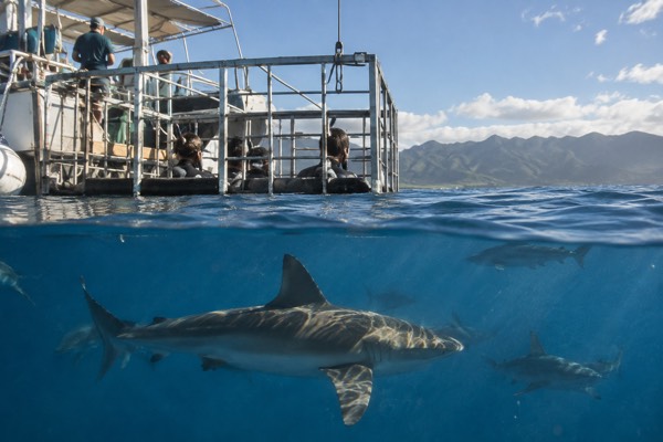
Where Are The Biggest Waves On Oahu Right Now?
A direct, sourced answer to where the biggest waves on Oahu are right now, which shore owns which season, and how to read the official surf forecast before you go.
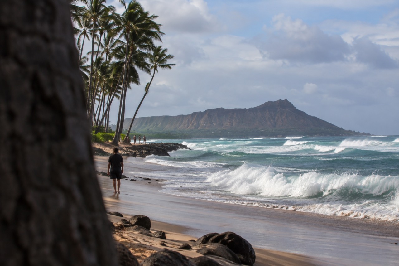
The biggest waves on Oahu right now depend on which way the coast faces, and the coast that faces the incoming swell is the one with the surf. There is no single answer that holds all year: the north shore owns the winter, the south shore owns the summer, and the National Weather Service office in Honolulu publishes a surf forecast every day that names all four aspects, north, west, south and east, so you can check the real numbers before you drive anywhere.
That daily bulletin is the honest source, and it is free. On 10 September 2026, for example, it showed the south shore running 4 to 6 feet while the north shore sat at 1 to 3 in the morning, the exact inversion of the winter pattern, because a mid-period south swell was arriving while the north Pacific stayed quiet. This article explains how that rotation works, how to read the forecast yourself, and where on the island you should actually stand to watch it.
Where Are The Biggest Waves On Oahu Right Now?
The answer is in the National Weather Service surf zone forecast for Oahu, which is published daily and splits the island into north, west, south and east facing shores. Whichever aspect carries the highest forecast heights is where the biggest waves are right now. In winter that is almost always the north shore, in summer it is almost always the south shore, and the east shore rises whenever a former tropical cyclone sends swell in from that direction.
The reason the island works this way is geometry. Oahu is a small island sitting in the middle of the Pacific, and each of its coasts faces a different swell-generating region. The north and west shores face the storms of the north Pacific, which intensify from roughly October through March. The south shore faces the long-period swells generated south of the equator, which arrive mainly between April and September. The east shore faces the trade winds and, in some years, the remnants of Pacific hurricanes.
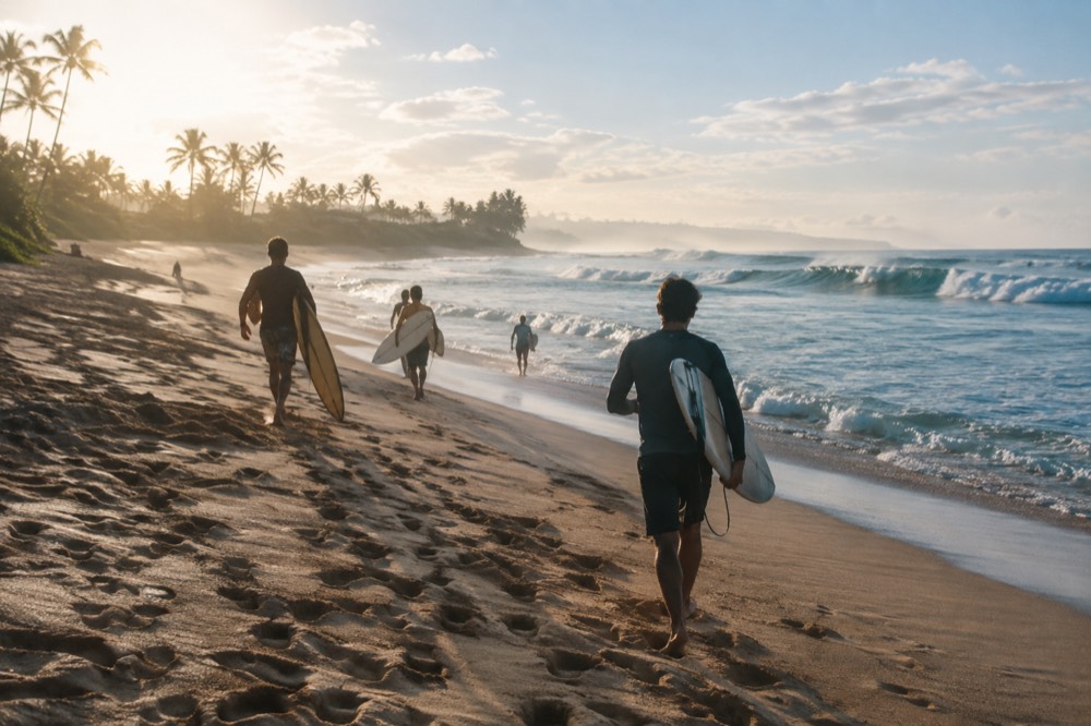
That is why the question has a moving answer. A visitor in January asking where the big waves are gets one reply, and a visitor in July gets the opposite one, and both are correct. The live forecast published by the NWS Honolulu forecast office is the only source that resolves the question for today, because it measures the swell that is actually in the water rather than the season's general reputation.
One caution about numbers. Specific wave heights at named breaks, Waimea Bay, Pipeline, Sunset, are not published in a verified form by any official source this site could ground. The forecast gives heights by shore aspect, and that is the figure you should plan around. Anything more precise is folklore until a lifeguard or the forecast says otherwise.
Which Shore Has The Biggest Waves In Each Season?
From roughly October to March the north shore holds the island's biggest surf, as north Pacific storms send long-period swell at the coast between Waimea and Sunset. From roughly April to September the pattern flips, and the south shore takes over as swells generated south of the equator arrive. The east shore runs on trade winds and tropical-cyclone swell, and the west shore is the quietest aspect.
The seasonal table below is the planning version. It says which coast to head for, and what is usually true, not what is guaranteed on any given day.
| Season | Biggest surf usually on | Why | Good places to watch |
|---|---|---|---|
| October to March | North and west shores | North Pacific winter storms | Sunset Beach, Waimea Bay area, Laniakea |
| April to September | South shore | Long-period southern hemisphere swells | Waikiki, Ala Moana, Sandy Beach on east swell days |
| Trade wind season | East shore | Persistent easterly winds | Makapuu, Waimanalo |
| After a Pacific cyclone passes | East and south shores | Residual swell from former tropical systems | Check the daily forecast, spots vary |
The National Weather Service discussion on 10 September 2026 attributed that day's south shore surf to a mid-period south swell and the east shore heights to east and northeast swells generated by former tropical cyclones, which is a neat, real example of both mechanisms running at once. The winter reputation of the north shore is earned, but it is a seasonal fact, not a permanent one.
The west shore deserves one extra sentence of explanation, because it is the aspect visitors understand least. It faces the same winter storm tracks as the north shore, but most of that swell has to wrap around the island's northwest corner to reach it, which costs the waves size and leaves the coast comparatively tame except on the biggest days. When the forecast shows the west shore running high, it usually means the swell is genuinely large everywhere, and that is a day worth rearranging your plans for.
If your trip is in the cooler months and big surf is the point, base yourself within reach of the North Shore of Oahu rather than commuting from Waikiki each morning. The coast is a working two-lane highway through small towns, and on the biggest days the traffic, the parking and the crowds all arrive together.
Planning to spend the day on the North Shore? Book a zipline adventure here.
How Do You Read The Official Oahu Surf Forecast?
The National Weather Service Honolulu office publishes a surf zone forecast every day that gives expected heights for each of Oahu's four shore aspects, north, west, south and east, usually with separate morning and afternoon figures. You read it by finding the aspect with the largest numbers, then matching that aspect to the coast you can reach. The forecast also carries a discussion naming the swell source, which tells you whether the surf is building or fading.
The practical habit is simple. Check the forecast the evening before and again in the morning, because swell arrivals shift by hours, not days. If the north shore is forecast at heights in the double digits and you are not a surfer, that is a day for watching, not entering, and the earlier you arrive at the viewing spots the better the parking.
For surfers, the same forecast is the starting point for the deeper questions, and our Oahu surfing guide covers the breaks, the ability levels and the etiquette. For everyone else, the forecast is a trip-planning tool: it tells you which coast deserves your morning and which one will be flat.
A detail worth knowing about the forecast's numbers: the heights are given in feet of face height, and the discussion section explains the mechanics behind them, whether the swell is rising, holding or easing over the next day or two. That discussion is where the real planning value sits. Two identical 6-foot forecasts can mean completely different beach days depending on whether the swell is building toward 10 or fading toward 2, and a reader who checks only the numbers can be caught out by the difference.
Where Should You Watch Big Waves On Oahu?
The classic viewing coast is the stretch between Waimea and Sunset on the north shore in winter, where the biggest swells of the year arrive and the sand, the car parks and the food trucks all sit close to the water. In summer the roles reverse and the south shore, from Waikiki to Ala Moana, picks up the largest surf. Choose the aspect the forecast says is biggest, arrive early, and never turn your back on the water.
Sunset Beach is the most forgiving place to watch, with a wide sand buffer and roadside pull-ins, and our page on Sunset Beach covers where to park and what the beach does at different swell sizes. The Waimea Bay area is the other natural stop, and on genuinely large days it draws a crowd that you should expect rather than be surprised by.
Two rules matter more than the choice of spot. First, in winter the sand at these beaches changes shape under big surf, and a beach that was safe to stand on last week may not be this week, so respect the lifeguard postings on the day. Second, the highway through the North Shore towns is residential, and treating driveways and travel lanes as overflow parking is the single fastest way to make the visit unpleasant for everyone. Park legally or come by tour.
That last point is why a guided loop is a genuinely good option on big-surf days. A driver who does the route daily knows which lots fill, which pull-outs are legal and where the swell is actually breaking, and you spend the day watching water instead of circling for parking.
There is a third option that suits the summer pattern: on a big south swell day, the Waikiki waterfront itself becomes the viewing coast, and you can watch solid surf from the sand or from a catamaran deck without driving anywhere at all. The south shore's summer swell is smaller than the north shore's winter maximum, but it breaks closer to where most visitors are staying, which makes it the easiest big-wave show on the island to attend.
Is It Safe To Swim When The Surf Forecast Is Big?
No, not on the coast carrying the big heights. High surf on any Oahu shore means powerful shorebreak, strong currents and surge, and people die on this island every year standing too close to the water in exactly these conditions. Swim on the sheltered coast instead: in winter that usually means a protected south shore beach or a lagoon, and in summer the roles reverse. The lifeguard towers are the final word on any given day.
The safe pattern is the mirror of the surf pattern. When the north shore is 15 feet and life-threatening, the south shore is often small and gentle, and Waikiki can be nearly flat. When a big south swell fills in, the north shore can be the calm place. The island's geography does the work for you, as long as you check the forecast and pick the opposite coast from the big numbers.
| Forecast says | Good plan | Bad plan |
|---|---|---|
| North shore double digits | Watch from the sand at Sunset or Waimea, swim elsewhere | Swimming, wading or standing on wet rocks on the north shore |
| South shore double digits | Watch from a distance, swim on the north or east coast | Bodyboarding at a south shore beach break |
| East shore elevated | Head to a protected west or south beach | Snorkelling on an east facing reef |
| All shores small | Any beach, but still swim near a lifeguard | Assuming small means safe; currents run regardless |
A note on the specific beaches. Sandy Beach on the east side is a beautiful stop with a shorebreak that catches people out even on modest days, and our Sandy Beach Park page covers it honestly. The Halona Blowhole next door is another spot where the ocean's power deserves real respect, especially with any east swell running.
The same caution extends to tide pools and rocky lookouts anywhere on the windward coast. East shore surf can rise quickly when a former tropical system pushes swell in, and the wet rock that looks like a good viewing platform at 9 a.m. can be under wash by 11. The rule the lifeguards repeat is worth repeating here: never stand on wet sand or wet rock, because wet means the ocean has already reached that far, and it will reach there again.
What About Kaʻena Point And The Western Tip?
Kaʻena Point State Park, the Mokuleia and Keawaula sections at the island's western tip, is closed until further notice as of the DLNR notice dated 9 September 2026, closed for storm repairs after Hurricane Lowell. It cannot be a surf-watching destination right now, and any older guide that sends you there is out of date. The same notice keeps Wahiawa Freshwater State Recreation Area and Nuuanu Pali State Wayside closed, so plan around all three.
The point matters to this question because it is the one stretch of coast where the north and west swell windows meet, and in winter it can hold the island's heaviest surf with no road beyond the trailhead. It is also a sacred site, a leina a ka uhane in Hawaiian tradition, a place where souls depart the living world, and a protected seabird and monk seal area behind a predator-proof fence. It deserves restraint in any case, and right now the closure makes the decision for you.
The honest planning consequence is that the west shore's surf is best viewed from its beach parks rather than its tip, and that the winter north shore itinerary should stick to the roaded coast between Haleiwa and Sunset. Check the DLNR State Parks notices in the week you travel, because these closures are repaired and reopened on their own schedule, not on a season's.
Do Big Waves Affect Boat Tours And Other Activities?
Yes, and the effect is uneven. Big north shore surf closes some North Shore water activity and makes some launches unpleasant, while leaving the leeward and south coasts largely operational, and big south swell does the reverse to Waikiki catamaran sails and south shore snorkelling. Operators cancel or relocate based on the daily forecast, so the practical rule is to book with free cancellation and check the surf forecast the day before, not weeks before.
Winter is the clearest case. From November through April the humpback whales are in Hawaiian waters, per the national marine sanctuary, and whale watching trips run out of the south and west side harbours that are sheltered from exactly the swell that makes the north shore famous. A winter trip can pair a morning of watching the big surf from the sand with an afternoon on the water elsewhere, and the two experiences do not conflict.
Summer inverts it. When the south shore is carrying the swell, the catamaran sails off Waikiki and the turtle snorkel spots may be bumpy or moved, and the North Shore's protected bays can be the calm water. This is the same mirror logic as the swimming advice, and it is the single most useful mental model this island offers: there is almost always a calm coast, and the forecast tells you which one it is.
Common Questions About Big Waves On Oahu
Most questions about Oahu's biggest waves come down to three things: which shore the swell is hitting today, which season you are travelling in, and whether the plan is to watch or to get in the water. The daily National Weather Service surf forecast answers the first, the calendar answers the second, and the lifeguard postings answer the third. Everything else is detail sitting on top of those three answers.
Where are the biggest waves on Oahu right now?
Check the National Weather Service surf zone forecast for Oahu, which gives heights for the north, west, south and east facing shores every day. The aspect with the highest forecast heights is where the biggest waves are right now: in winter that is usually the north shore, in summer the south shore.
Does the north shore always have the biggest waves?
No, only in the cooler months, roughly October to March, when north Pacific storms send swell at the island. In summer the north shore can be nearly flat while the south shore carries the surf, as the daily forecast shows.
Can I swim on the same day the surf is huge?
Usually yes, on the opposite coast. High surf on one shore very often means calm water on the sheltered side, and the forecast tells you which is which. Swim near a lifeguard and follow the tower's postings for the day.
Is Waikiki ever dangerous?
Waikiki is protected by its reef from most north and west swell, which is why it is the island's beginner beach. A large south swell can raise the surf there, and on those days the lifeguards will say so. Check the south shore line of the forecast.
When can I see whales and big waves on the same trip?
From November through April. The humpback season, per the national marine sanctuary, overlaps the north shore's big surf season, so a winter day can include surf watching on the north shore and whales from a south or west side boat.
Is Kaena Point open for watching surf?
No. The Mokuleia and Keawaula sections of Kaena Point State Park are closed until further notice for storm repairs following Hurricane Lowell, per the DLNR notice dated 9 September 2026. Check the DLNR notices in the week you travel.
The short version, and the one worth remembering: the biggest waves on Oahu are always somewhere specific, the forecast names that place every morning, and the island is small enough that you can be standing in front of it by lunchtime. Pick the coast the numbers point at, give the ocean room, and let the opposite coast be your swimming day. For everything else on the island, the Oahu Travel Guide homepage is the place to start planning.